Find Your Way With GIS
Grow your Spatial thinking skills and expand your knowlege
of the world through Geography and GIS.
Map a New Path to Success at MSUM!
Grow your Spatial thinking skills and expand your knowlege
of the world through Geography and GIS.
Map a New Path to Success at MSUM!
Geographic Information Systems (GIS) is an integrated set of tools and methods that help us analyze, manage, create, and understand spatial information. GIS is a DECISION SUPPORT tool used by nearly every industry and discipline. In fact, careers in Geospatial technology are growing at a rate FASTER than the national average. Why should you car about GIS? Come to MSUM and explore what GIS can do for you!
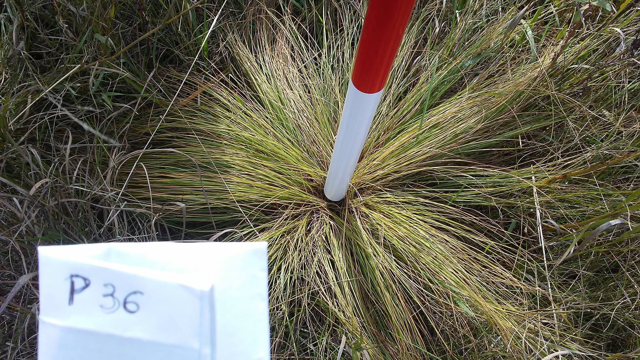
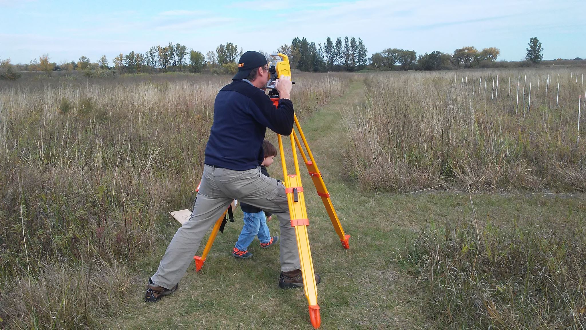
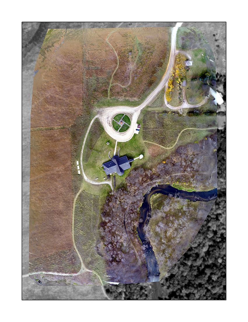
If you have ever been interested in maps, then you should check out what MSUM has to offer in terms of Geographic Information Systems and Geospatial Sciences. GIS is used in nearly every discipline, and as such, obtaining a GIS certificate or pursuing a degree will only help in finding that perfect job when you leave school. Moreover, with the recent advances in unmanned aerial system (UAS) platforms, previously unattainable spatial resolution (photos)is know within reach! I am convinced that once you see what GIS is capable of, you will find a way to fit it into your area of interest. If you have questions or interests, please contact Dr. David Kramar.
Check back for updated news relating to the GIS Program at MSUM!
Please fill out the form below if you would like more information about MSUM's GIS program.