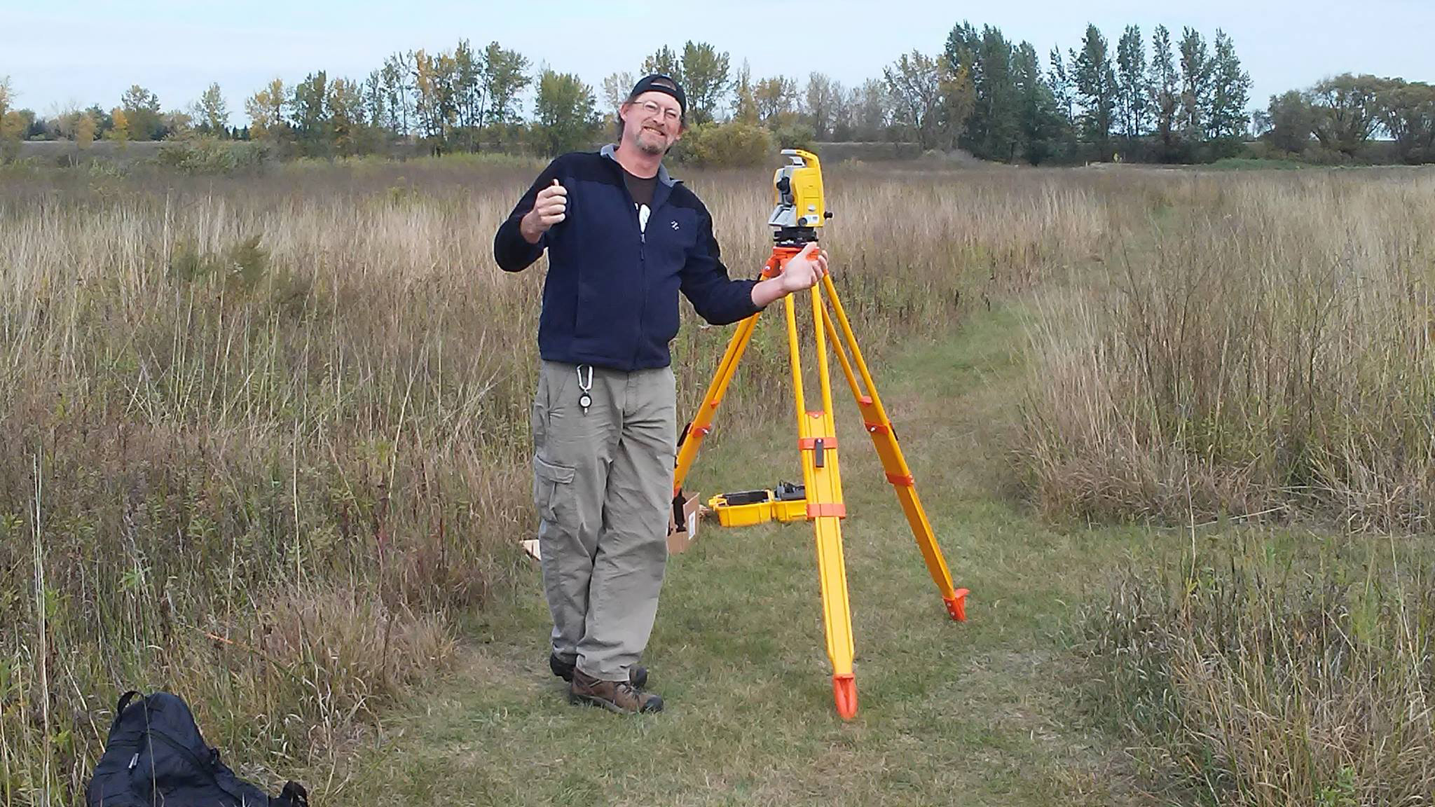
Welcome to my story. I became involved with GIS in the mid-1990's. I had originally gone back to school to complete my undergraduate degree in Anthropology, with a focus on sustainable development. It wasn't long after I got to Appalachian State University in Boone, NC that I found my passion for Geography. More than Geography, I found my passion for Geographic Information Systems (GIS). I am not sure what sparked my interest other than I have always loved maps, and there was something inherently intuitive about the process of creating them. GIS simply became a logical extension of my interest in maps. From there, as they say, the rest is history!
Over the years my interests and focus have changed. Not from GIS, but rather in how we apply GIS to solve problems. My first job out of undergraduate (well, technically while I was STILL an undergraduate) was as the GIS Coordinator and Zoning Administrator for the Town of Banner Elk, NC. After that experience, I moved to Old Town, Maine where I became the Municipal GIS Analyst for the James W. Sewall Company. In this capacity I gained significant experience as a consultant, and eventually ended up as the GIS Project Manager for Anderson and Associates (NOT the one that got into all the financial trouble in 2008) in Blacksburg, Va. It was here that my interest in graduate school came about.
In 2002, I quit my job at Anderson and Associates and pursued a master's in Geography, with a concentration in GIS. From there I discovered my passion for teaching. I was also introduced to a wonderful opportunity to work for the BioDiversity Research Institute (BRI) in Gorham, Maine. This was where my passion for wildlife applications of GIS came from. I spent the two years of my master's degree working with BRI on a massive international collaborative of scientists studying mercury in the environment.
After finishing my master's degree, I ended up back in Maine at the University of Maine, Orono. Unfortunately, UMaine and I did not see eye to eye on a number of issues. I eventually pursued an EPA Star Fellowship (that is a story for another time), and was (to my surprise) awarded that in 2006. I moved back to Virginia Tech and started my Ph.D. in Geospatial and Environmental Analysis.During the course of my Ph.D. I was fortunate to work on another international project that looked at wintering golden eagles in Virginia. We trapped the eagle for 3 years and outfitted them with GPS telemetry units. The work resulted in the Eastern Golden Eagle Working Group receiving the prestigous "Wings Across the America's" Award. Fast forward to the completion of my degree, and I ended up in Southern Oregon as a visiting Assistant Professor at Southern Oregon University. Man - I LOVE OREGON!! When a fullt ime position opened at MSUM, I applied (consequently for the second time as I also applied in 2012). MSUM holds true to my passion for teaching and undergraduate research. I really couldn't imaging being at a Tier 1 research institute.
Bachelor of Science: Concentration in GIS
Appalcahian State University. Boone, North Carolina
Master of Science: Concentration in GIS
Virginia Tech. Blacksburg Virginia. Thesis: Estimating Mercury Risk to the Common Loon Using Geographic Information Systems.
Doctor of Philosophy: Geospatial and Environmental Analysis
Virginia Tech. Blacksburg Virginia. Dissertation: Evaluation, assessment, and determination of risk to high trophic level piscivores in Virginia: A spatial, biological, and comparative investigation of mercury in Virginia bald eagle populations.
Curriculum Vitae